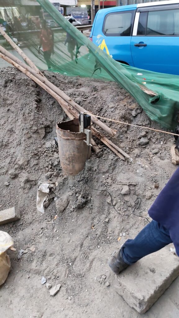
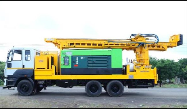
 Before a single drill bit touches the ground, the success or failure of a water project is already being decided on paper and in the soil data beneath a property. This is the role of the Hydrological Survey Service for Borehole Drilling at Eastleigh, a step that Pro-Logic Technologies treats as non-negotiable for anyone serious about securing a productive, long-lasting water source. Skipping this stage is the single biggest reason boreholes fail, run dry, or deliver disappointing yields, and it's why an experienced drilling contractor will always insist on it before mobilizing equipment.
What a Hydrological Survey Actually Involves
A hydrological survey, sometimes referred to as a hydrogeological survey, is a scientific assessment carried out to determine whether groundwater exists beneath a specific plot, how deep it lies, and how much of it can realistically be extracted. The Hydrological Survey Service for Borehole Drilling at Eastleigh typically combines geophysical methods, most commonly electrical resistivity surveys, with a review of existing geological data from the surrounding area.
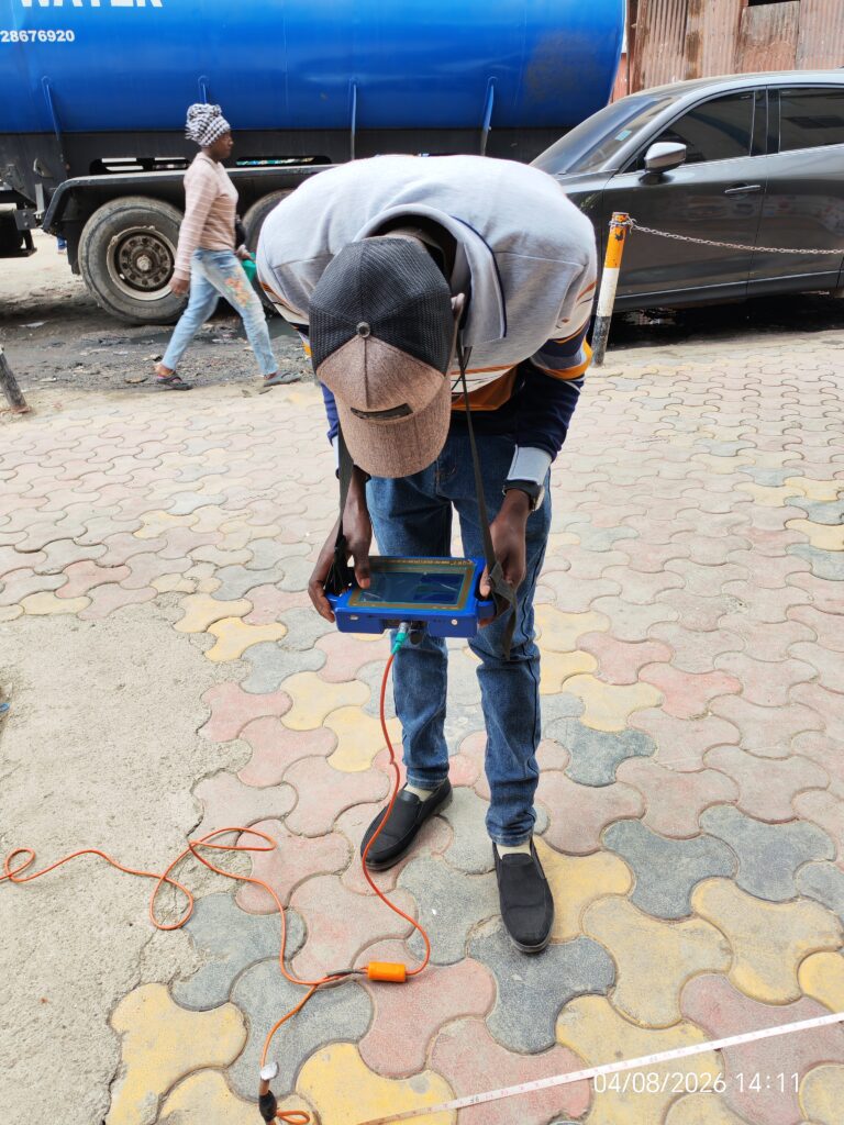
During the survey, technicians use specialized equipment to send electrical currents into the ground and measure how different subsurface layers resist that current. Water-bearing layers, known as aquifers, conduct electricity differently from dry rock or clay, allowing surveyors to map out where water is likely to be found and at what depth. This process produces a resistivity profile that guides the exact point where drilling should take place, rather than leaving it to guesswork.
Why This Step Cannot Be Skipped
Eastleigh sits on geology that, like much of Nairobi, can vary significantly even between plots that are just a few meters apart. One property might sit above a productive aquifer at 150 meters, while a neighboring plot could require drilling well past 250 meters to hit a similar water-bearing zone, or might strike a dry formation altogether. Without a proper survey, a property owner is essentially gambling with a significant financial investment.
The Hydrological Survey Service for Borehole Drilling at Eastleigh removes this guesswork. It tells the client, before any drilling contract is signed, whether the site is viable, what depth to budget for, and what yield to expect. This information directly shapes the drilling contract, the equipment selected, and the overall project cost, protecting the client from the far more expensive mistake of drilling blind and ending up with a dry or low-yielding hole.
The Survey Process Step by Step
The process usually begins with a site visit, where the survey team walks the property to identify any physical constraints such as underground utilities, structures, or access limitations that might affect where drilling equipment can be positioned. From there, the team sets up resistivity survey lines across the plot, taking multiple readings at different points and depths.
These readings are then analyzed to produce a geological profile of the site, showing the different subsurface layers, their likely composition, and where water is expected to occur. The Hydrological Survey Service for Borehole Drilling at Eastleigh concludes with a written report recommending the optimal drilling point, the expected depth range, and an estimate of the potential yield in liters per hour. This report becomes the technical basis for the drilling phase that follows.
Table: Estimated Costs Associated With Hydrological Survey and Related Services
| Service | Estimated Cost (KES) |
|---|---|
| Hydrological/Geophysical Survey | 25,000 – 45,000 |
| Site Access and Mobilization Fee | 5,000 – 15,000 |
| Survey Report and Recommendation | Included in survey fee |
| Follow-up Drilling (per meter) | 3,500 – 6,000 |
| Casing Installation (per meter) | 1,500 – 3,000 |
| Test Pumping After Drilling | 20,000 – 40,000 |
| Water Quality Testing | 8,000 – 15,000 |
| NEMA and WRMA Permit Assistance | 35,000 – 110,000 |
Pricing can shift depending on plot size, accessibility, and the complexity of the underlying geology, but this gives a realistic starting point for budgeting purposes.
How the Survey Connects to Licensing Requirements
An often-overlooked benefit of a proper survey is how it strengthens the licensing process. Both NEMA and the Water Resources Authority require technical justification before issuing environmental and abstraction permits. A Hydrological Survey Service for Borehole Drilling at Eastleigh produces exactly the kind of documented, data-backed report that regulators expect to see when reviewing an application.
Without this report, permit applications can face delays or rejections, since authorities need assurance that groundwater abstraction won't negatively affect the surrounding water table or interfere with neighboring boreholes. Pro-Logic Technologies incorporates survey findings directly into the documentation submitted for these approvals, streamlining what can otherwise be a slow bureaucratic process.
Avoiding Common Pitfalls
Property owners sometimes try to cut costs by skipping the survey and relying instead on the experience of a drilling crew or the results from a neighboring plot. This approach carries real risk. Groundwater conditions can change dramatically over short distances, and what worked for one property next door offers no guarantee for another. A Hydrological Survey Service for Borehole Drilling at Eastleigh costs a fraction of what it takes to drill an entire borehole, making it one of the cheapest forms of insurance against a failed or underperforming project.
Another common mistake is using outdated or generic survey data instead of a fresh, site-specific assessment. Since underground water conditions shift due to seasonal rainfall, over-abstraction in the area, and construction activity nearby, a survey should always reflect current ground conditions rather than assumptions carried over from previous projects in the general vicinity.
Why This Matters for Long-Term Borehole Performance
Beyond simply locating water, a well-executed survey influences the entire lifespan of the borehole. Knowing the depth and nature of the water-bearing formation in advance allows the drilling team to select the right casing materials, plan for the correct screen placement, and set realistic expectations for pump sizing. All of these decisions trace back to the data gathered during the survey phase.
For anyone planning a borehole project in Eastleigh, whether for a residential property, a commercial premise, or an institution, starting with a proper Hydrological Survey Service for Borehole Drilling at Eastleigh is the difference between a water source that performs reliably for decades and one that becomes a costly disappointment. Pro-Logic Technologies carries out this survey work as the foundation of every drilling project it undertakes, ensuring that clients invest with confidence rather than uncertainty.